The Estuary Program and our partners implement projects in restoration, monitoring, and education to protect and restore Morro Bay and the lands that surround it. Our actions are guided by our Comprehensive Conservation and Management Plan (CCMP), a strategic roadmap for the program. To help share highlights of our program’s 30 years of work in the watershed, we’re excited to introduce our new interactive StoryMap, From Plan to Progress: CCMP in Action.
What is the CCMP?
When Morro Bay was accepted into the National Estuary Program in 1995, one of our first tasks was to develop a CCMP. This management plan identifies the issues and challenges facing Morro Bay and presents action plans to address them. Learn more about the CCMP here.
How to Use the StoryMap
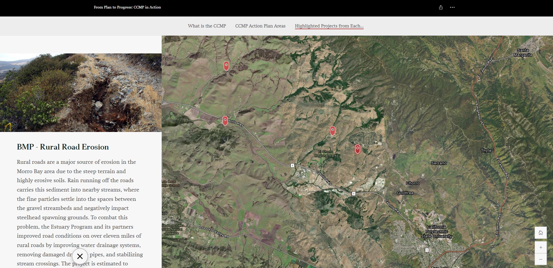
A StoryMap is a tool for visually conveying data, usually through the use of maps. These dynamic webpages are designed to showcase the real-world impact of our work in Morro Bay by highlighting recent projects. To navigate the From Plan to Progress: CCMP in Action StoryMap:
- Scroll through sections to explore different projects and initiatives.
- Click on interactive maps to view project locations and impacts.
- Engage with photos and descriptions to learn more about conservation efforts.
- Use the navigation menu to jump to specific topics of interest.
Explore the StoryMap now and discover how the CCMP is shaping conservation in Morro Bay!
What will you learn?
The StoryMap provides details on the CCMP, describes our program focus areas, and features some of our recent projects. The following are a few project highlights from the StoryMap.
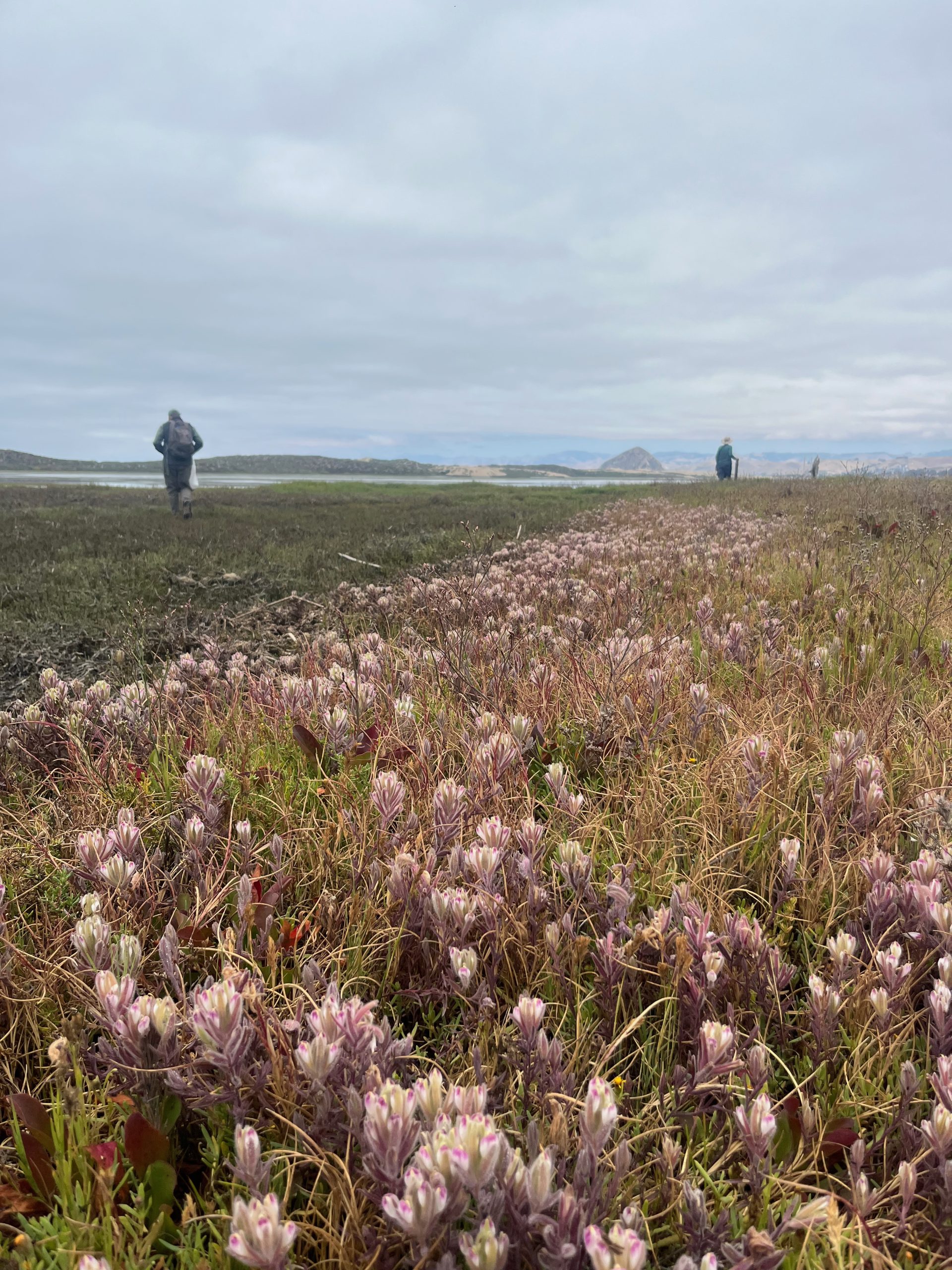
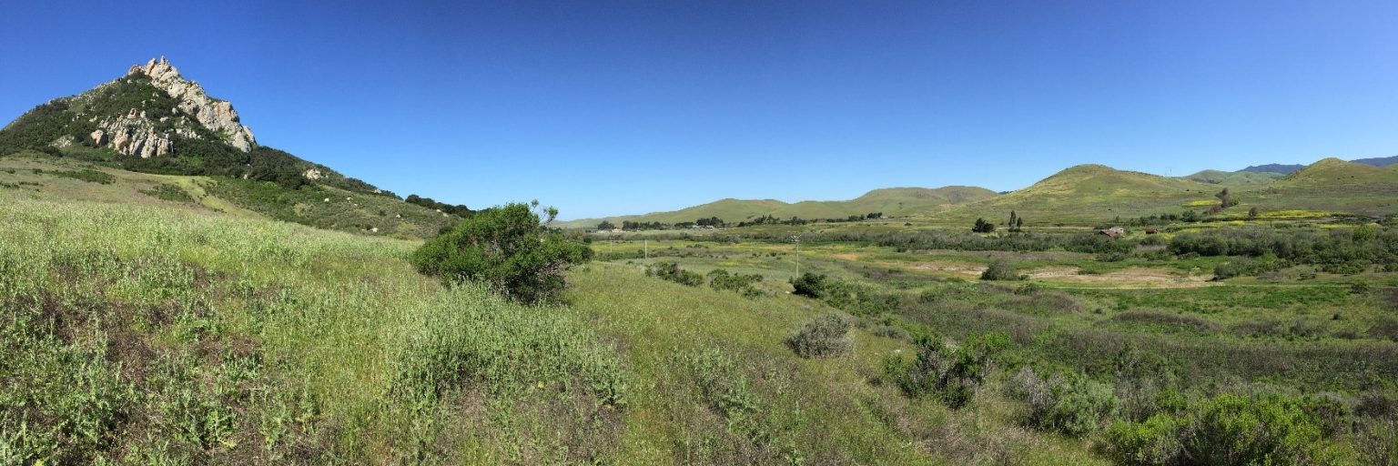
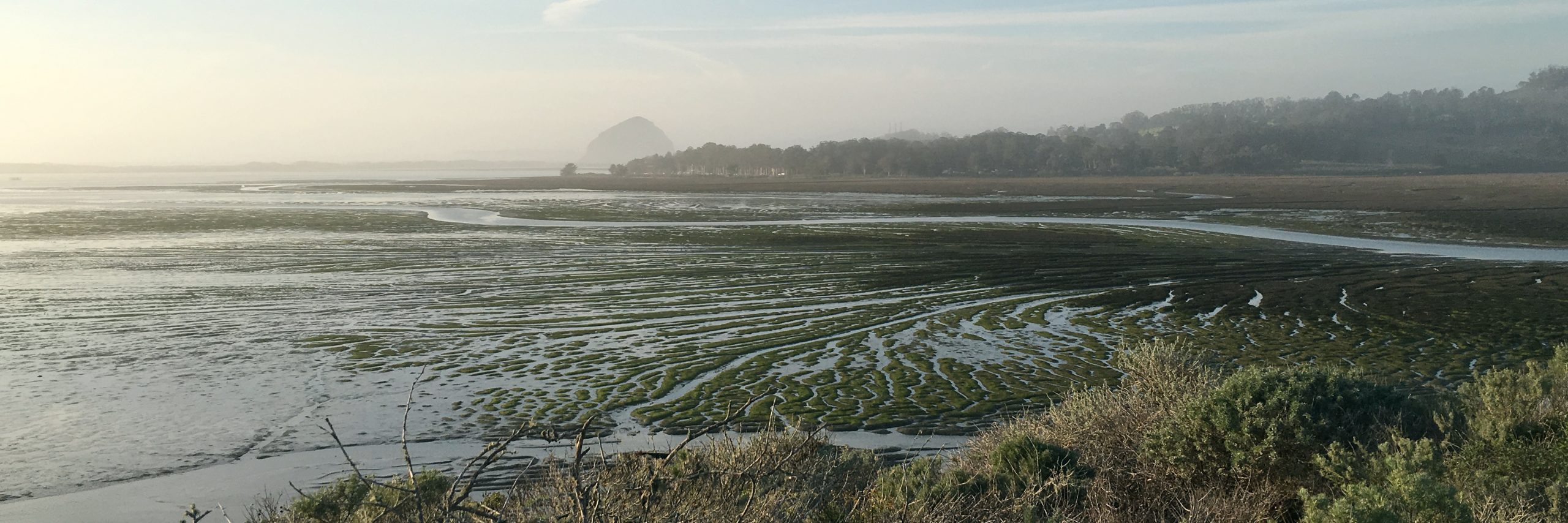
Land Protection – Chorro Creek Ecological Reserve
Water Quality Monitoring – Spring Bioassessment

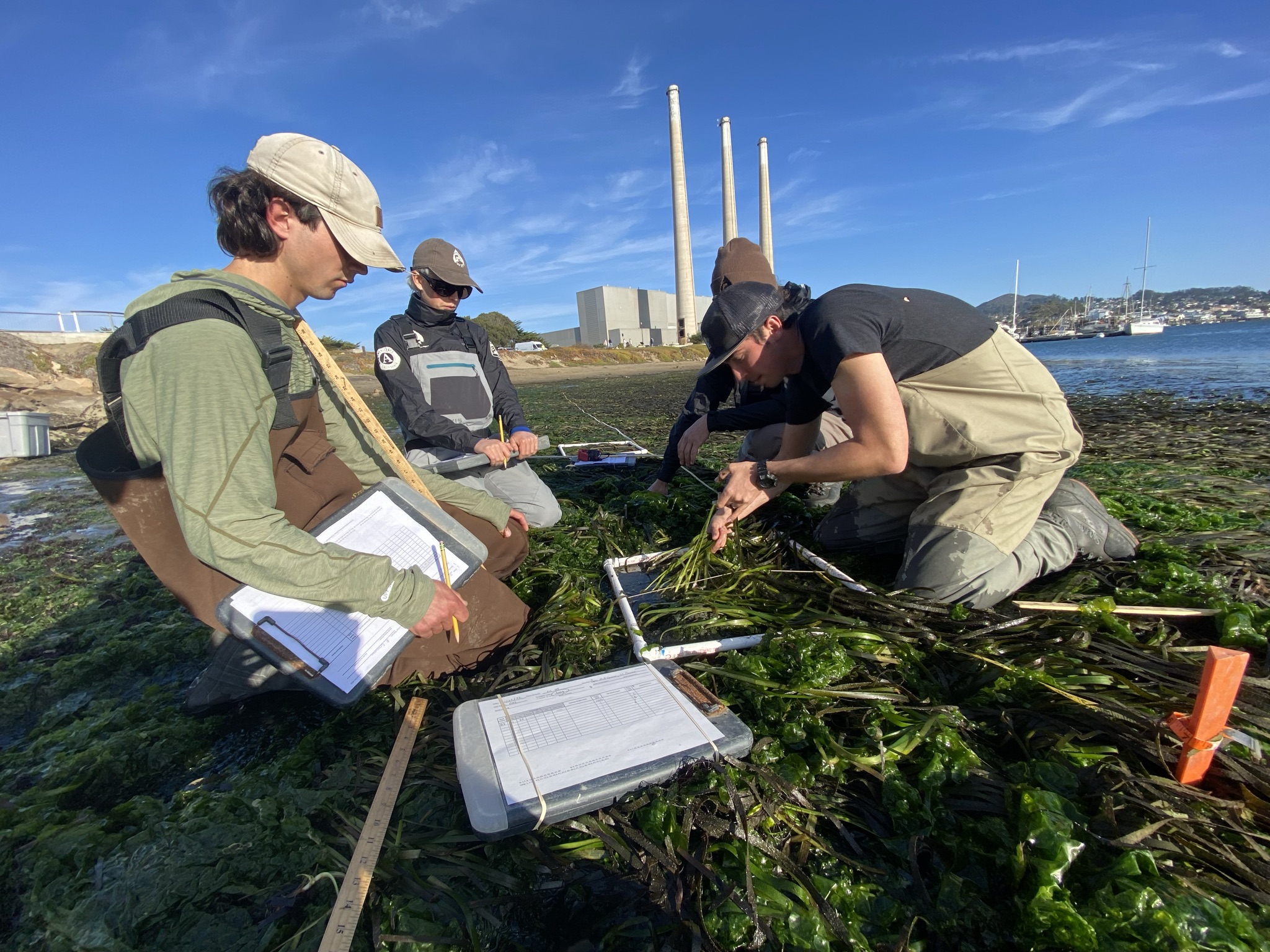
Ecosystem Conservation – Eelgrass Restoration
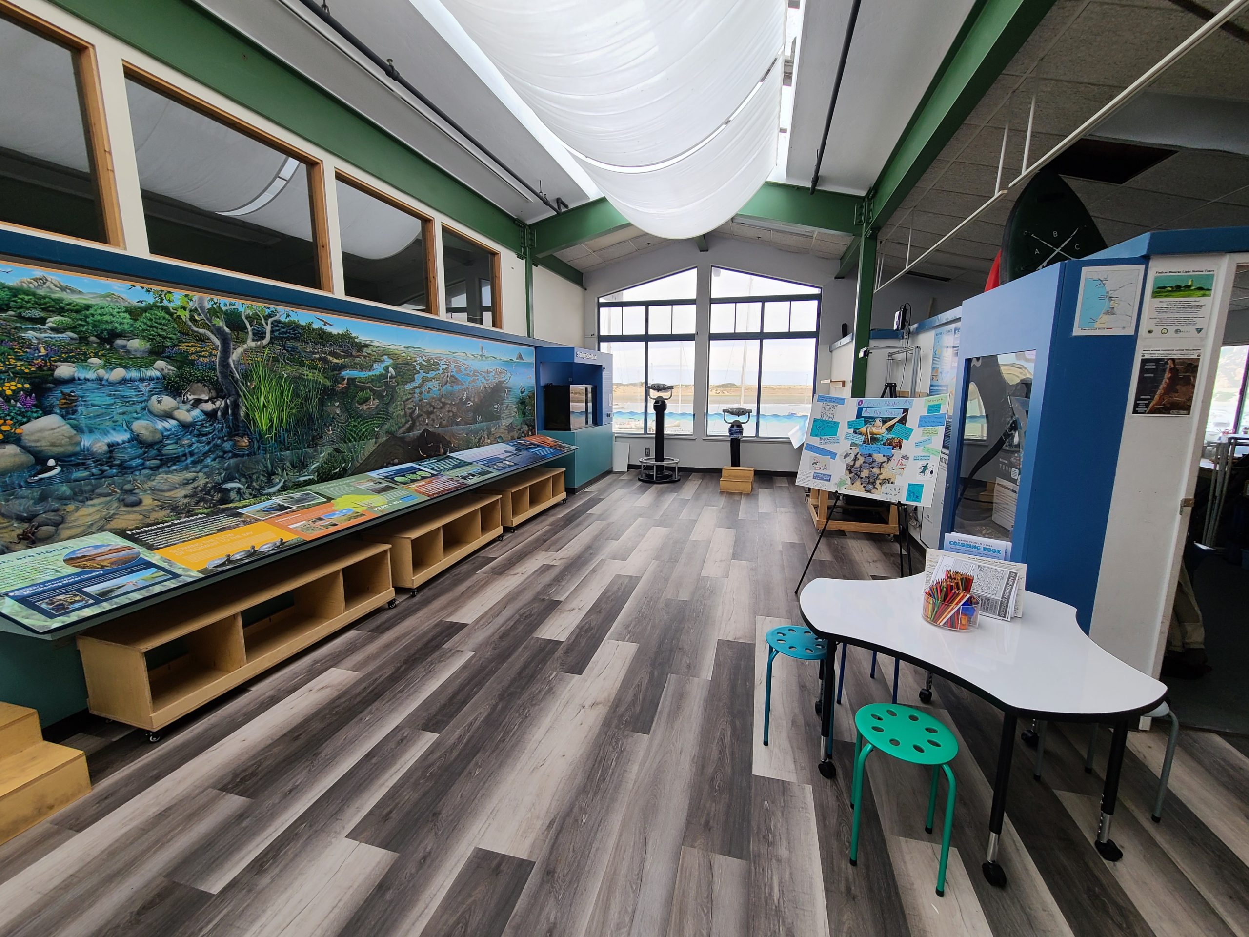
Education and Outreach – Nature Center
A Living Resource
From Plan to Progress: CCMP in Action will continue to be updated with new project updates to ensure that our community and partners always have access to information on the latest Estuary Program efforts in Morro Bay.
Help us protect and restore the Morro Bay estuary!
- Donate to the Estuary Program today and support our work in the field, the lab, and beyond.
The Estuary Program is a 501(c)3 nonprofit. We depend on funding from grants and generous donors to continue our work. - Support us by purchasing estuary-themed gear from ESTERO. This locally owned and operated company donates 20% of proceeds from its Estuary clothing line and 100% of Estuary decal proceeds to the Estuary Program. Thank you, ESTERO!
- Purchase items from the Estuary Program’s store on Zazzle. Zazzle prints and ships your items, and the Estuary Program receives 10% of the proceeds.
- Subscribe to our seasonal newsletter: Between the Tides!
- We want to hear from you! Please take a few minutes to fill out this short survey about what type of events you’d like to see from the Estuary Program. We appreciate your input!