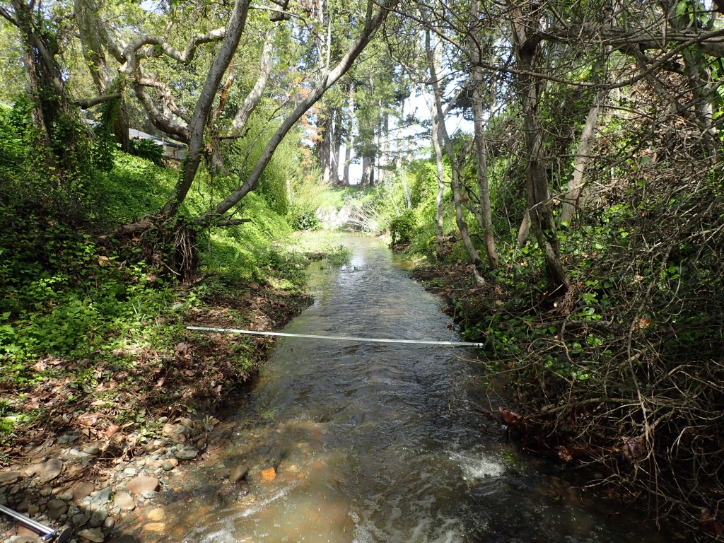
Fulfilling our mission to protect and restore the Morro Bay estuary for people and animals requires a lot of hard work in the field. Today, we’re bringing you our first set of monthly field updates to show you what our staff and volunteers are doing on the ground.
Monitoring Updates
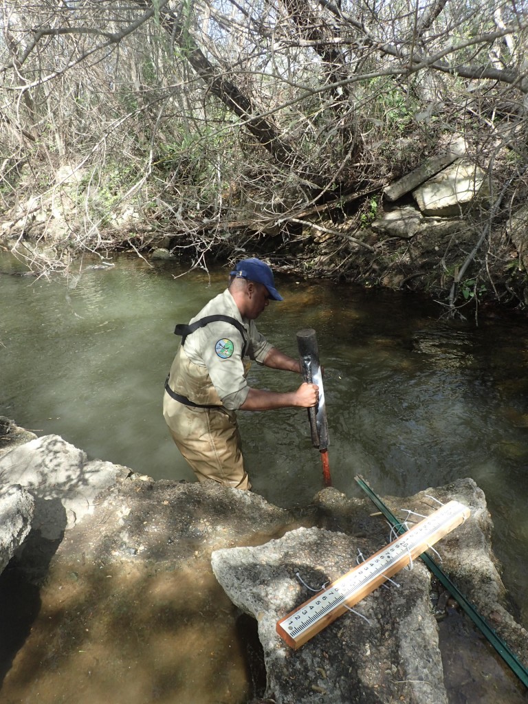
With the help of NOAA/CCC Veterans Corps members, we reinstalled one staff plate (a long ruler that can be used to measure water depth) that was knocked out during winter storms.
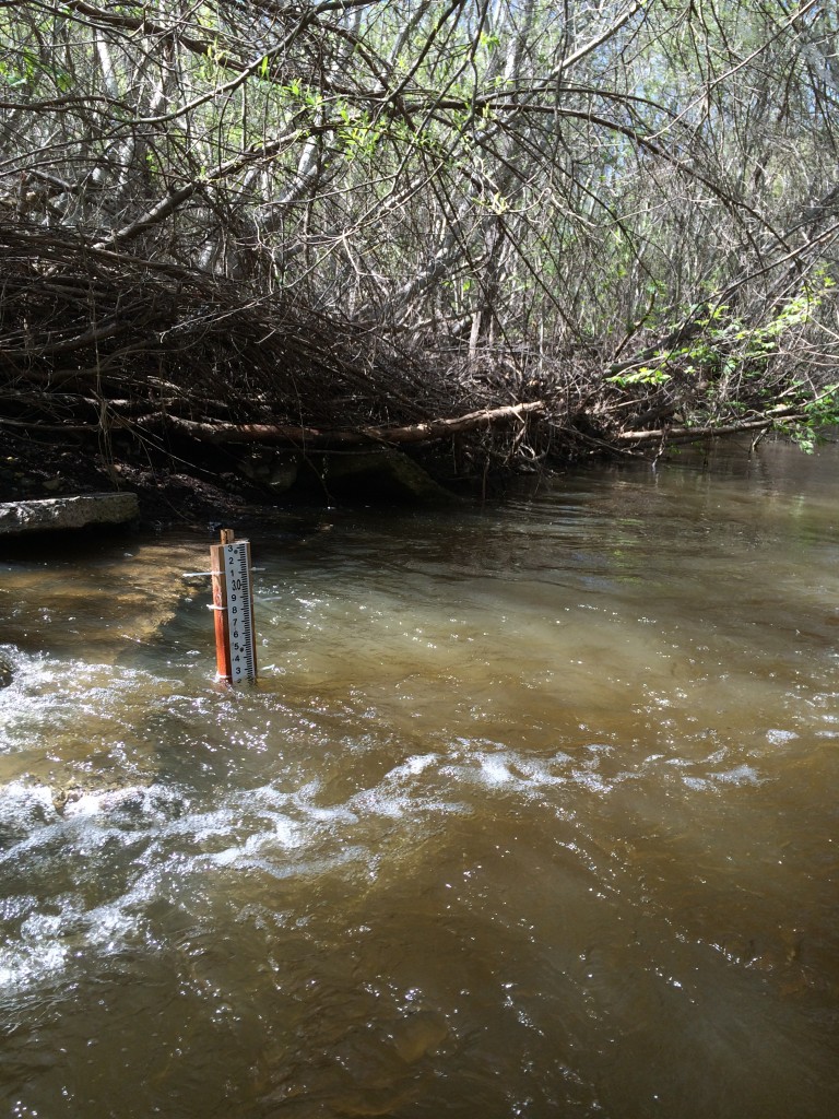
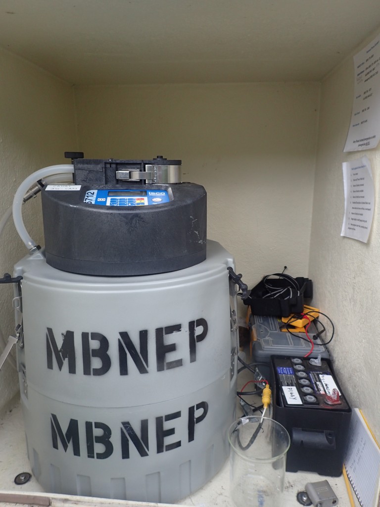
We monitored for sediment during the big rain at the beginning of March.
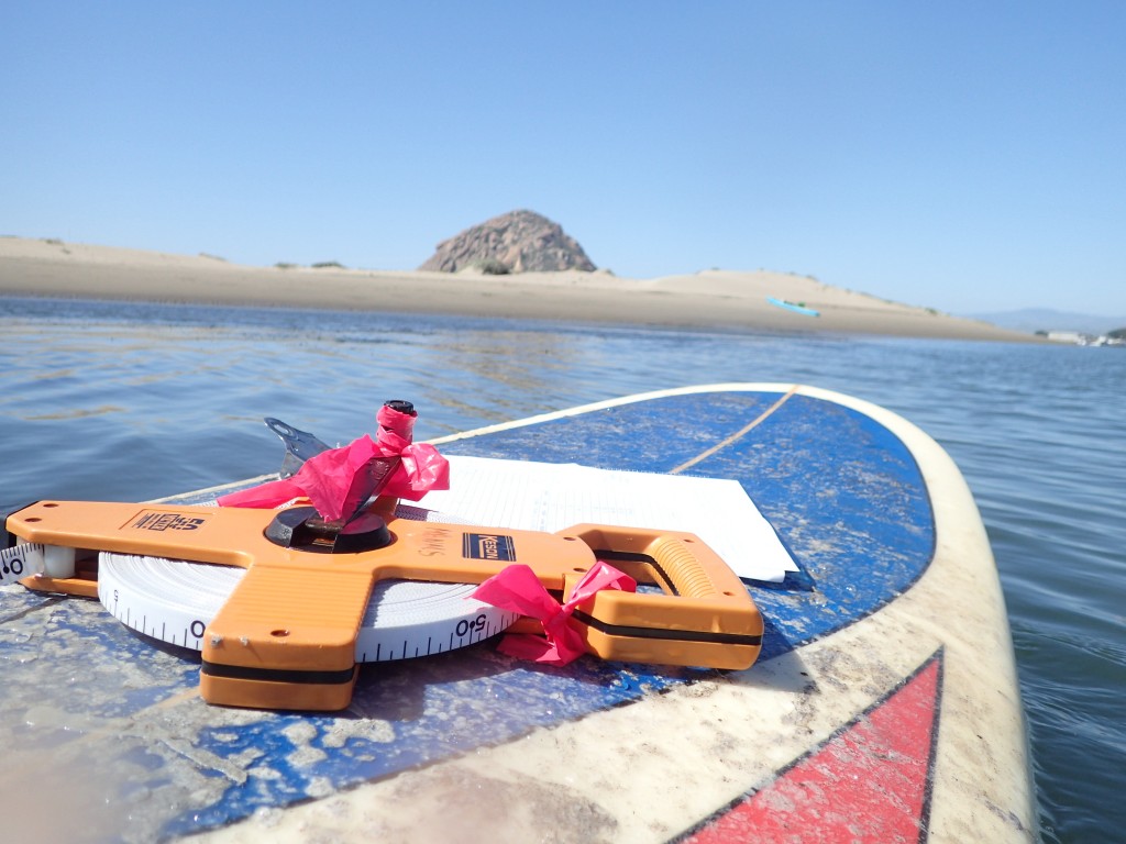
We completed subtidal eelgrass surveys by State Park Marina and on the sandspit across from Tidelands Park.
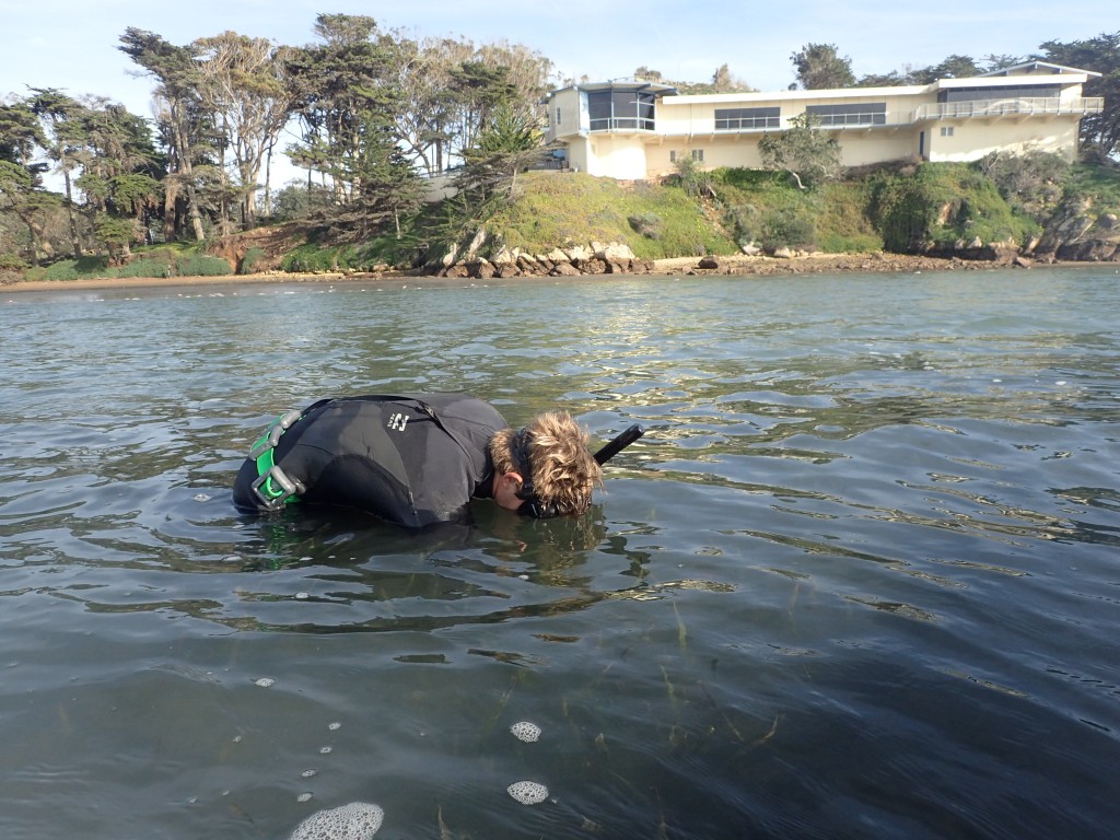
Dawn Patrol requires staff and volunteers to venture out early in the morning, when oxygen dissolved oxygen (DO) levels are at their lowest, to measure DO, salinity and temperature. This month, our Field Technician, Evan, monitored the front bay, and our Monitoring Coordinator, Karissa, monitored the back bay.
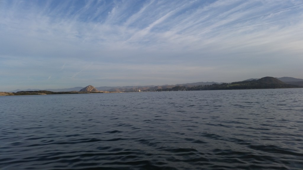
March rain made a few sites flow that hadn’t previously been flowing, including Los Osos Creek at Los Osos Valley Road. We were excited to get out and monitor water quality at these sites.
Restoration Project Updates
The Morro Bay Watershed Road Erosion Prevention Project is part of a watershed-wide effort to decrease excessive sedimentation in the Morro Bay watershed by:
- preventing sediment delivery through erosion control efforts and,
- capturing sediment by restoring historic floodplain areas and creating and maintaining sediment basins.
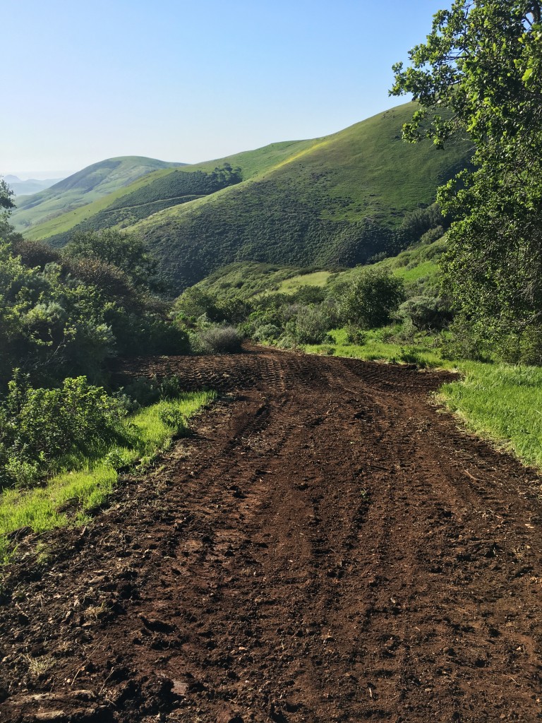
We are happy to report that we’ve reached a big milestone in this project. At the end of March, we completed our work on the Dairy Loop on Camp San Luis Obispo, a road system that drains into the Dairy Creek subwatershed.
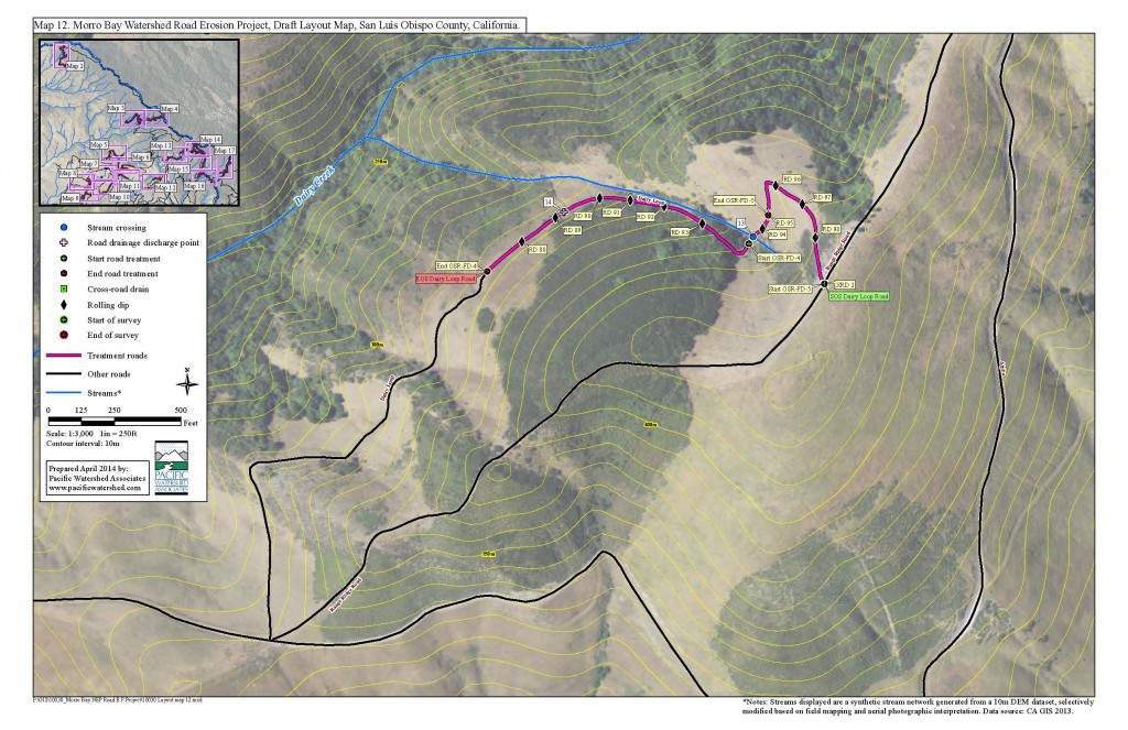
The road was reshaped to direct rain water in a manner that prevents future road erosion. The result of the work on this section of road stabilizes the uppermost portions of Dairy Creek, complimenting a past project completed on the creek’s northernmost tributary in 2011.
We’ll post our next set of field updates in the first week of May.
Subscribe to get the Estuary Program’s blog delivered to your inbox each week.
Donate to help the Estuary Program protect and restore Morro Bay.
